

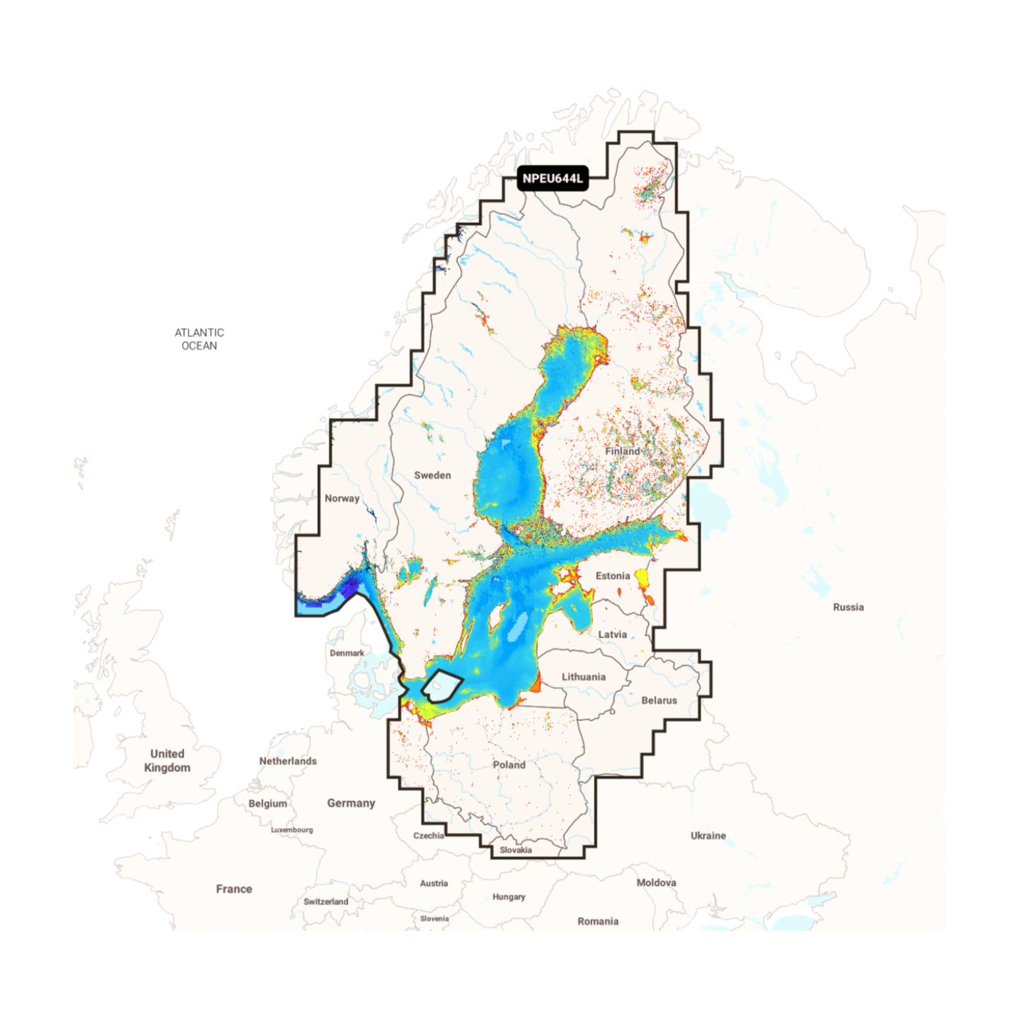

Item number: 010-C1352-40 (Navionics Code: NPEU644L) | Format: microSD™/SD™ card
The entire Baltic Sea in premium quality
With the Navionics Platinum+ NPEU644L, you have the perfect tool for cruises across the Baltic Sea. Especially in the Finnish and Swedish archipelagos, the satellite overlays and 3D views show their strengths by vividly depicting rocks and passages. Complemented by geo-referenced coastal pilots and aerial images of harbours, this chart offers maximum safety and comfort for long-distance sailors.
Coverage & Chart Material
- Southern Baltic Sea: Germany (complete Baltic Sea coast), Poland, Denmark.
- Eastern Baltic Sea: Lithuania, Latvia, Estonia, Russia (Kaliningrad & St. Petersburg).
- Northern Baltic Sea: Finland (incl. Saimaa lake district), Sweden (east coast & Gulf of Bothnia).
- Islands: Rügen, Bornholm, Gotland, Öland, Åland and Saaremaa.
Exclusive Features of the Platinum+ Series
- Relief Shading & Satellite Imagery: For a detailed perception of the environment above and below water.
- 3D Bathymetry: Helps in assessing bottom profiles.
- Panoramic Photos: Visual support when approaching unfamiliar harbours.
Compatibility
- Raymarine, Simrad, Lowrance, B&G, Humminbird.
- ⚠️ NOT for Garmin devices.
Technical Data
- Chart Code: NPEU644L (Baltic Sea)
- Manufacturer Part Number: 010-C1352-40